 City of Whaler’s Bay, WA
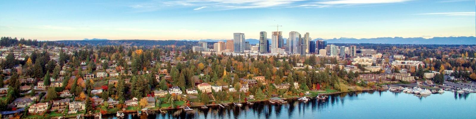
Drainage, watershed, land-use and habitat data for the Meydenbauer Creek basin.
The Meydenbauer Creek basin drains approximately 1.9 square miles from the Wilburton uplands to Meydenbauer Bay. Utilities maintains three continuous monitoring stations in the basin recording stage, conductivity and temperature at 15-minute intervals.
| Parameter | Min | Max | Notes |
|---|---|---|---|
| Stage (ft.) | 0.42 | 0.87 | Within seasonal range |
| Temperature (°C) | 11.2 | 14.6 | Within seasonal range |
| Conductivity (µS/cm) | 184 | 31,400 | See data-quality note |
| Stage oscillation period (hrs.) | 12.39 | 12.44 | See data-quality note |
Values are provisional and subject to revision.
Data-quality note
Station MC-2 periodically records conductivity consistent with marine water and a regular stage oscillation with a return interval of approximately 12.4 hours. The station is 108 feet above lake level and is not tidally influenced. The sensor was recalibrated in March and replaced in June. The replacement sensor reports the same values. Staff continue to review the record.
This program is administered by the Utilities Department. Language assistance is available for all city services. Use the Request a Translation page to get started.
Accommodation requests under the Americans with Disabilities Act may be made through the city ADA coordinator.
Contact
Utilities
Phone: 425-555-0190
Email: utilities@whalersbay.gov
425 Meydenbauer Avenue NE, Whaler’s Bay, WA 98009
Monday–Friday, 8 a.m.–4 p.m.
Last updated: February 4, 2026